The Griene Dyk
The Griene Dyk near Het Bildt was originally part of the medieval sea dike along the Middelzee. Until the area was reclaimed in 1505, this dike protected the Frisian hinterland from the sea.
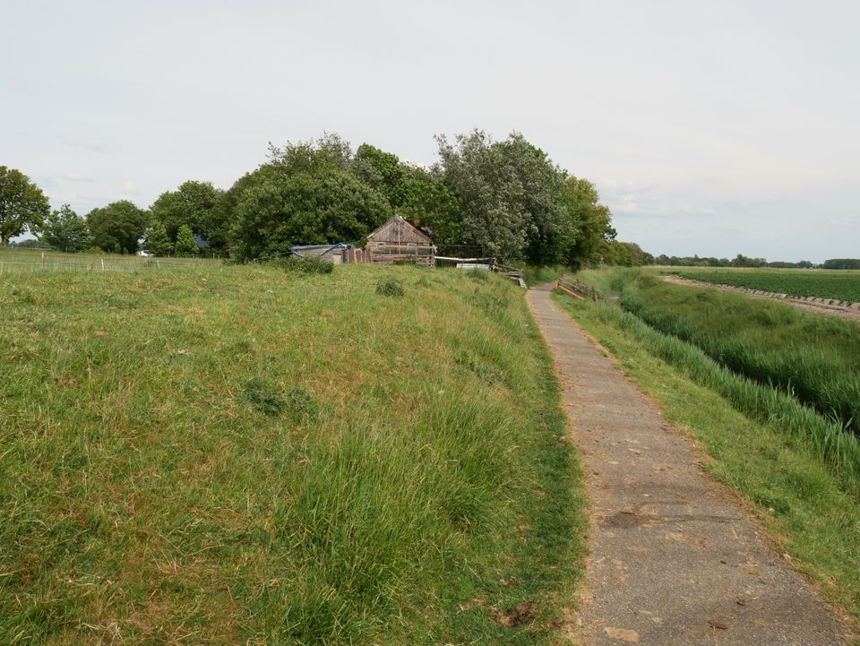
The Griene Dyk near Het Bildt was originally part of the medieval sea dike along the Middelzee. Until the area was reclaimed in 1505, this dike protected the Frisian hinterland from the sea.
Between the 10th and 12th centuries, local inhabitants built dikes along both sides of the Middelzee. Together, the Griene Dyk and the Hoge Dijk provided important protection for Oostergo against flooding.
Over time, sediment gradually filled in the Middelzee, creating new salt marshes outside the dikes. In 1505, these fertile areas were reclaimed on the initiative of Duke George of Saxony. The approximately 14-kilometre-long Oude Bildtdijk was constructed as part of this project.
With the construction of the Oude Bildtdijk and later the Nieuwe Bildtdijk in 1600, the Griene Dyk lost its function as a sea defence. It became a slaperdijk, or second…
The Griene Dyk near Het Bildt was originally part of the medieval sea dike along the Middelzee. Until the area was reclaimed in 1505, this dike protected the Frisian hinterland from the sea.
Between the 10th and 12th centuries, local inhabitants built dikes along both sides of the Middelzee. Together, the Griene Dyk and the Hoge Dijk provided important protection for Oostergo against flooding.
Over time, sediment gradually filled in the Middelzee, creating new salt marshes outside the dikes. In 1505, these fertile areas were reclaimed on the initiative of Duke George of Saxony. The approximately 14-kilometre-long Oude Bildtdijk was constructed as part of this project.
With the construction of the Oude Bildtdijk and later the Nieuwe Bildtdijk in 1600, the Griene Dyk lost its function as a sea defence. It became a slaperdijk, or secondary dike, and today mainly forms a distinctive landscape boundary between the old Frisian land and the polders of Het Bildt.
Nearby
Skip map elements